
Finding El Centro Street Residents
A street search in El Centro works best as a chain, not as a single list. Start with the physical address, because Imperial County documents that ParcelQuest Lite accepts an address or APN. Retain the parcel number, situs address, mailing address, and legal description as separate fields. Then carry the APN into the Recorder index and use the City GIS viewer to inspect the parcel and its neighbors. These steps establish who is connected to land and documents, while directory and voter evidence address different questions about people.
- Enter the exact physical address in Imperial County ParcelQuest Lite and record the APN and displayed assessment facts.
- Open the El Centro map viewer, zoom to the parcel, and click the mapped feature and each immediately adjoining polygon.
- Use the APN or current assessed owner in RecorderWorks, narrowing the date range and document type when results are broad.
- Check city permit and code-record channels for address-keyed work history, applicant names, and project dates.
- For earlier households, search the street section of a verified directory edition and compare the year with census or newspaper evidence.
Voter information belongs later in the process. California's public status tool is a self-check, not an open street search. An approved voter-file recipient may filter delivered data only for a permitted purpose. The result still omits people who are not registered, protected, or included in the selected file.
El Centro ParcelQuest Address Keys
ParcelQuest Lite is the county-documented first stop in the El Centro street directory. Imperial County's public instructions affirmatively name two search keys: an Assessor Parcel Number and a physical address. The county does not document a public owner-name mode on the page inspected, so do not assume that typing a surname will search the parcel roll. Use street spelling, directional prefixes, and the exact number as displayed by the address source.
| Field | Type | What to preserve |
|---|---|---|
| Assessor Parcel Number | Text | Hyphenated APN, such as 053-136-007, when known. |
| Physical Address | Address entry | Situs location, directional, street type, and unit detail. |
| County terms | Acceptance control | Read the interstitial before entering the vendor-hosted system. |
The county warns that parcel information is not survey accurate. A result can be a strong routing clue, but the recorded map and legal description control land identity. The assessed owner is the party on the roll, not proof that the person lives at the situs. The owner's tax-mailing address may be in another city or may be a PO box.
El Centro Geo Viewer Blocks
The Assessor Front Desk Application and the city's ArcGIS viewer add the spatial layer that a text search lacks. The city map can be used to zoom to an address, select a mapped feature, and inspect whatever public attributes the current pop-up exposes. For a block search, click adjoining polygons one by one. Corner lots, alleys, multiple APNs, and sites that span a single street number make house-number order an unreliable substitute for parcel adjacency.
The El Centro ArcGIS Web Application is the city map route. Its current controls and layers can change, so copy the visible map label and date when using it.
The exact live layer names, selection tools, export limits, and owner fields were not stable in the captured text. Treat the Geo Viewer as a map and parcel-context tool, not a title report. If the map and the assessor result disagree, retain both source labels and ask the mapping desk at (442) 265-8609 to identify the parcel reference.
See the Imperial County Geo Viewer entry point before walking a street by map.
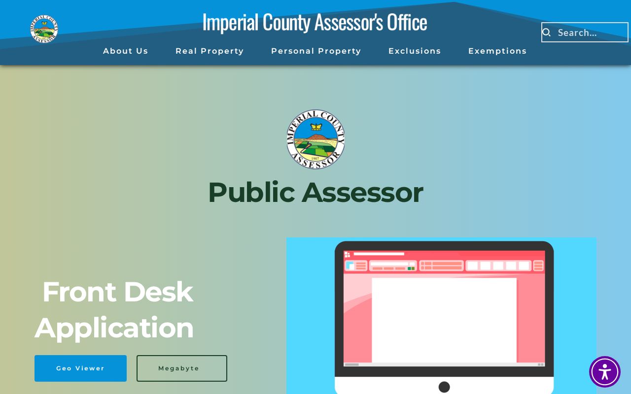
The Geo Viewer image illustrates the map layer behind an El Centro street directory search. It helps locate parcels, but each visible attribute still needs to be labeled as a map fact, assessment fact, or title fact.
Note: A map pop-up can change without changing the parcel, so preserve the visible layer name and the date of your inspection.
El Centro Records by Street
Address-keyed records overlap without becoming interchangeable. The coverage table shows the proper handoff. A street directory that calls every name a resident would blur the record's purpose and overstate what the custodian releases.
| Record set | Keeper | Street-level value | Access |
|---|---|---|---|
| Parcel assessment | Imperial County Assessor | APN, situs, assessed owner, mailing destination | Address or APN |
| GIS parcel map | Assessor and City GIS | Boundaries, adjoining polygons, mapped context | Free web viewers |
| Recorded instruments | County Clerk-Recorder | Deed parties, dates, types, document numbers | Free index, paid copies |
| City permits and code files | El Centro Community Development | Projects, applicants, owner fields, dates | Request by address or APN |
| Historical directories | Library, NARA, archives | Listed occupants in a publication year | Edition-specific access |
The APN is the bridge from the property roll to a deed. The street name is a useful human label, but it is not the title key. Keep the source date, then move to the next custodian only after confirming that the parcel or address means the same thing in both records.
El Centro Deed Chain Along a Street
RecorderWorks is the main online title-index route for El Centro. Its displayed coverage begins January 2, 1986 and runs to a changing current endpoint. Search by name, document number, document type, parcel number, or book and page when the citation is known. Name mode uses LAST NAME, FIRST NAME, accepts a business name or partial first name, and provides a partial-match option. A narrow recording-date range helps prevent timeouts.
Open the document number and note the indexed party roles, document type, recording date, and any parcel or legal-description reference. Deed grant, quitclaim deed, deed of trust, reconveyance, easement, affidavit, and map records do not all mean the same thing. The Recorder requires a document number or book and page for a copy and states that staff do not conduct index research. The in-person counter at 940 W. Main Street, Suite 202, is the fallback for earlier indexes and public viewing.
For the official Imperial County RecorderWorks index, write down the identifier before ordering an image or certified copy. The Official Record and Map Copy Request form is the county's paper fallback.
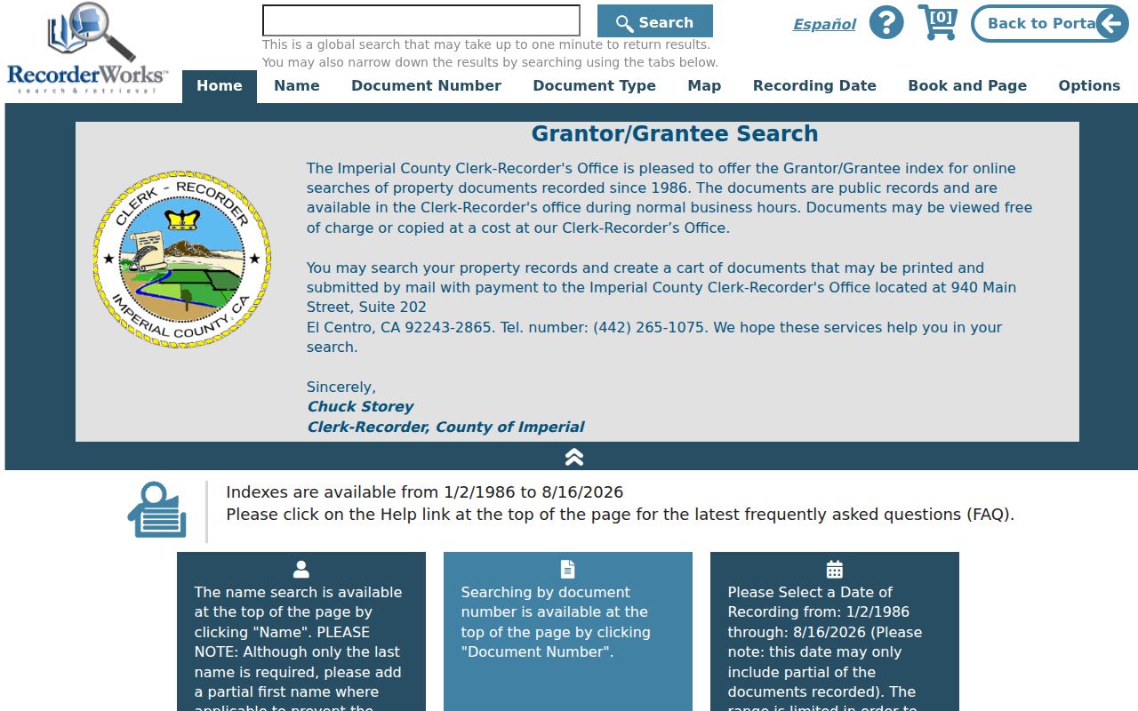
The RecorderWorks image shows why a street directory search becomes a deed search only after the APN and party role are confirmed. A same-name result without parcel context is not enough.
Note: The online deed index begins January 2, 1986, so older address history requires an office or historical-index fallback.
El Centro Permit Address Trail
El Centro Building and Safety records can add a project history to an address. The research did not locate a public anonymous permit database or a stable online coverage start year. The productive route is a focused request to Community Development or the City Clerk for the permit index or card, issued permits, final dates, certificate of occupancy, and closed code cases tied to one normalized address and APN.
Permit material can name an applicant, owner, contractor, project description, date, and sometimes plans. An applicant is not automatically the occupant. Active investigations and complainant-identifying information may be withheld or redacted. Ask whether older paper or microfilm indexes exist and request an electronic index export if that is easier for the custodian to locate.
The City Clerk request form can be sent to cityclerk@cityofelcentro.org or delivered to 1275 Main Street. Include the address or APN, department, date range, permit or case type, and requested format. The city states inspection is free and applies its published copy schedule when paper copies are needed.
The city Building Safety Division is the public starting point for routing an address question.
This Building Safety image represents the municipal address layer. It complements the county parcel and deed trail without turning a permit applicant into a confirmed resident.
El Centro APN and Legal Description
Four terms keep an El Centro street directory accurate. A parcel is a defined piece of land identified by an APN. A situs address is the physical location assigned to the parcel or improvement. A plat or recorded map describes lots, blocks, bearings, subdivision names, and dedications. A criss-cross directory, when a particular edition actually contains one, reverses the usual name-first order and connects an address to a listed occupant.
- Situs
- The physical parcel or improvement being assessed.
- Mailing address
- The destination chosen for assessment correspondence, which may be elsewhere.
- APN
- The Assessor's parcel identifier used to connect mapping and assessment records.
- Legal description
- The recorded land description that helps validate a deed or map.
- Criss-cross directory
- A historical address-to-name index whose coverage must be checked by edition.
The city's official parcel inventory shows why the crosswalk matters. One address can connect to more than one APN, and an intersection can represent several sites. Preserve the original address wording while adding a normalized form for search. Do not erase a directional prefix or substitute a mailing ZIP for the parcel identifier.
El Centro Historical Street Search
The verified Imperial Valley directory inventory covers 1926, 1928, 1930, and 1933 and includes nine communities. A street section may exist in a volume, but the NARA listing does not prove that every edition contains a reverse or criss-cross section. Check the actual reel, front matter, and abbreviation key before promising an address-to-occupant search. For a past number, compare the directory with the 1930 census, digitized Imperial Valley Press pages, and a deed or parcel map.
No authoritative El Centro street-renumbering chronology, annexation readdressing year, or comprehensive quadrant rule was located. If an old street number does not match a modern one, carry the APN and legal description across the gap. Sanborn maps, contemporaneous directories, recorded maps, and deeds can show continuity without inventing a conversion date.
The detailed historical collection workflow appears on the El Centro city directory page, while the street directory remains focused on converting a present address into the right record trail.
Note: A directory street section is useful only after the edition, community label, and abbreviation key have been verified.
El Centro Voter Street Limits
An approved California voter file may contain residence and mailing addresses and can be filtered by a qualified recipient by street, ZIP, or precinct. That is a regulated delivery, not a public street-browse tool. California voter-registration guidance and Elections Code section 2194 limit permitted uses and exclude driver's-license numbers, state ID numbers, Social Security digits, unique identifiers, and signatures. A voter status page checks one person's own record and cannot be repurposed as a residents directory.
Even a lawful extract is incomplete. It can omit unregistered people, confidential voters, inactive voters not requested, noncitizens, and anyone whose record is protected. Registration at an address proves a registration record at the extraction date, not ownership or the presence of every household member. Government Code section 7924.000 also preserves voter-data confidentiality. Use the least amount of data needed and preserve the declared purpose.
El Centro Street Directory Limits
Owners, listed occupants, registered voters, permit applicants, and mailing recipients are separate categories. Assessor data does not list every person at a situs. Deeds show title transfers, not moves. Utility accounts, delivery records, school records, and DMV addresses are not open substitutes for a street directory. A commercial compilation can be a lead, but its merges and dates need independent confirmation from the custodian.
Lawful personal research. El Centro address records may support family history, property history, civic research, or reconnecting with care. Do not use a street search to stalk, harass, threaten, or intimidate anyone. Protected and restricted records must stay protected.
When the address trail changes hands, the next useful move is usually narrower: validate the APN, identify the document number, or ask the responsible office for the exact nonexempt record. A careful El Centro street directory is defined as much by its limits as by its links.